
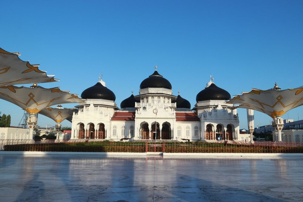
The shallow, land-based earthquake strongly shook Gayo Lues and was felt across northern Sumatra, prompting authorities to warn residents about aftershocks and damaged buildings.
MARKET INSIDER — A shallow magnitude 5.5 earthquake struck Indonesia’s Aceh province on Wednesday, July 22, strongly shaking Gayo Lues and sending tremors as far as Medan in neighbouring North Sumatra. Indonesia’s Meteorology, Climatology and Geophysics Agency, or BMKG, said tsunami modelling showed no threat because the earthquake originated beneath land rather than offshore. Several aftershocks followed, including a magnitude 4.3 event. No casualties or confirmed structural damage had been reported in the initial official information.
Key takeaways
- BMKG revised the earthquake from a preliminary magnitude of 5.6 to 5.5.
- The epicentre was on land, 36 kilometres northeast of Gayo Lues, at a depth of 9 kilometres.
- Shaking reached intensity V on the Modified Mercalli Intensity scale in Gayo Lues.
- Tremors were reported across Aceh and parts of North Sumatra, including Medan.
- BMKG recorded one magnitude 3.8 foreshock and at least two aftershocks by 11:30 a.m.
- Authorities advised residents to avoid cracked or damaged buildings.
Where did the Aceh earthquake strike?
BMKG’s reviewed analysis placed the epicentre at 4.24 degrees north latitude and 97.56 degrees east longitude, approximately 36 kilometres northeast of Gayo Lues Regency.
The earthquake occurred at a shallow depth of 9 kilometres. Shallow earthquakes can produce comparatively strong surface shaking near their epicentres because seismic energy travels a shorter distance before reaching populated areas.
BMKG initially reported a magnitude of 5.6 before revising the figure to 5.5 after further analysis. Such revisions are routine as seismologists process additional monitoring data. BMKG cautions that preliminary parameters may change during the first minutes after an earthquake, according to its real-time earthquake information service.
Why was there no tsunami warning?
BMKG tsunami director Wijayanto said modelling indicated that the earthquake could not generate a tsunami.
The epicentre was beneath land, and the earthquake’s strike-slip mechanism involved predominantly horizontal movement. Tsunamis are generally associated with large offshore earthquakes that cause substantial vertical displacement of the seabed.
A magnitude alone does not determine tsunami risk. Location, depth, fault movement and resulting seafloor displacement are also critical factors.
Residents in coastal areas therefore did not need to evacuate because of a tsunami threat arising from this earthquake. However, communities near the epicentre still faced risks from strong ground movement, falling objects, unstable buildings and possible aftershocks.
How strongly was the earthquake felt?
BMKG estimated shaking in Gayo Lues at intensity V on the Modified Mercalli Intensity, or MMI, scale.
At that level, shaking is felt by almost everyone in the affected area. Sleeping residents may awaken, unsecured objects can fall and larger items may visibly move. The intensity scale measures observed effects at specific locations and is different from magnitude, which estimates the energy released by the earthquake itself.
Intensity IV shaking was reported in Southwest Aceh, Southeast Aceh, North Aceh, Lhokseumawe, East Aceh, Bener Meriah, Central Aceh
At intensity IV, many people indoors feel the movement, while windows and doors may rattle and walls can make noise.
Lighter intensity III tremors were reported in Medan, Deli Serdang and Sibolga in North Sumatra, as well as Aceh Jaya, South Aceh and Aceh Tamiang. Residents described movement similar to the vibration caused by a passing heavy vehicle.
What caused the earthquake?
Based on the epicentre, depth and source mechanism, BMKG classified the event as a shallow tectonic earthquake probably associated with activity on the Oreng Fault.
Its source mechanism showed strike-slip movement, meaning the two sides of the fault moved mainly horizontally past one another.
Northern Sumatra is one of Indonesia’s most seismically active regions. The island lies near the convergence of major tectonic plates and contains an extensive network of active faults. Inland fault earthquakes may not create tsunamis, but they can still be damaging when they occur close to communities and at shallow depths.
Are more aftershocks possible?
By 11:30 a.m. local time, BMKG had identified one magnitude 3.8 foreshock and two aftershocks, the largest measuring magnitude 4.3.
BMKG’s subsequent public earthquake listing recorded a magnitude 4.3 event at 11:41:09 a.m., centred approximately 26 kilometres northeast of Gayo Lues at a depth of 4 kilometres.
Aftershocks are a normal part of the fault-adjustment process following an earthquake. They usually decline in frequency and strength over time, but individual tremors can still be strong enough to damage buildings already weakened by the main shock.
What should residents do?
BMKG urged residents to remain calm, rely on verified official information and avoid rumours circulated through social media or messaging platforms.
People in affected areas should Stay away from buildings with visible cracks or structural damage, Check for falling objects, damaged electrical wiring and gas leaks, Expect additional aftershocks and identify safe evacuation routes, Avoid re-entering damaged structures until authorities confirm they are safe and Follow updates from BMKG and local disaster-management agencies.
The absence of a tsunami threat does not mean there is no continuing local danger. Building inspections and damage assessments remain important, particularly in communities that experienced intensity V shaking.
Why it matters
The earthquake is primarily a public-safety event rather than a significant national economic shock based on the initial information available.
However, Gayo Lues is a mountainous inland district where earthquakes can create secondary hazards, including landslides, rockfalls and disruption to roads connecting isolated communities. Authorities will need to assess transport infrastructure, public buildings, schools and homes near the epicentre.
The immediate focus should remain on verifying whether damage or injuries occurred and monitoring the aftershock sequence. Initial reports that mention no casualties or destruction should not be interpreted as a final assessment, particularly when communications from remote areas may take time.
